Routes, Drive Times & Road Tips to Big BendBig Bend sits deep in far West Texas. Whether you’re coming from El Paso, Midland/Odessa, San Antonio, Austin, Houston, or Dallas/Fort Worth, choose the route that matches your arrival town and the part of the park you want...
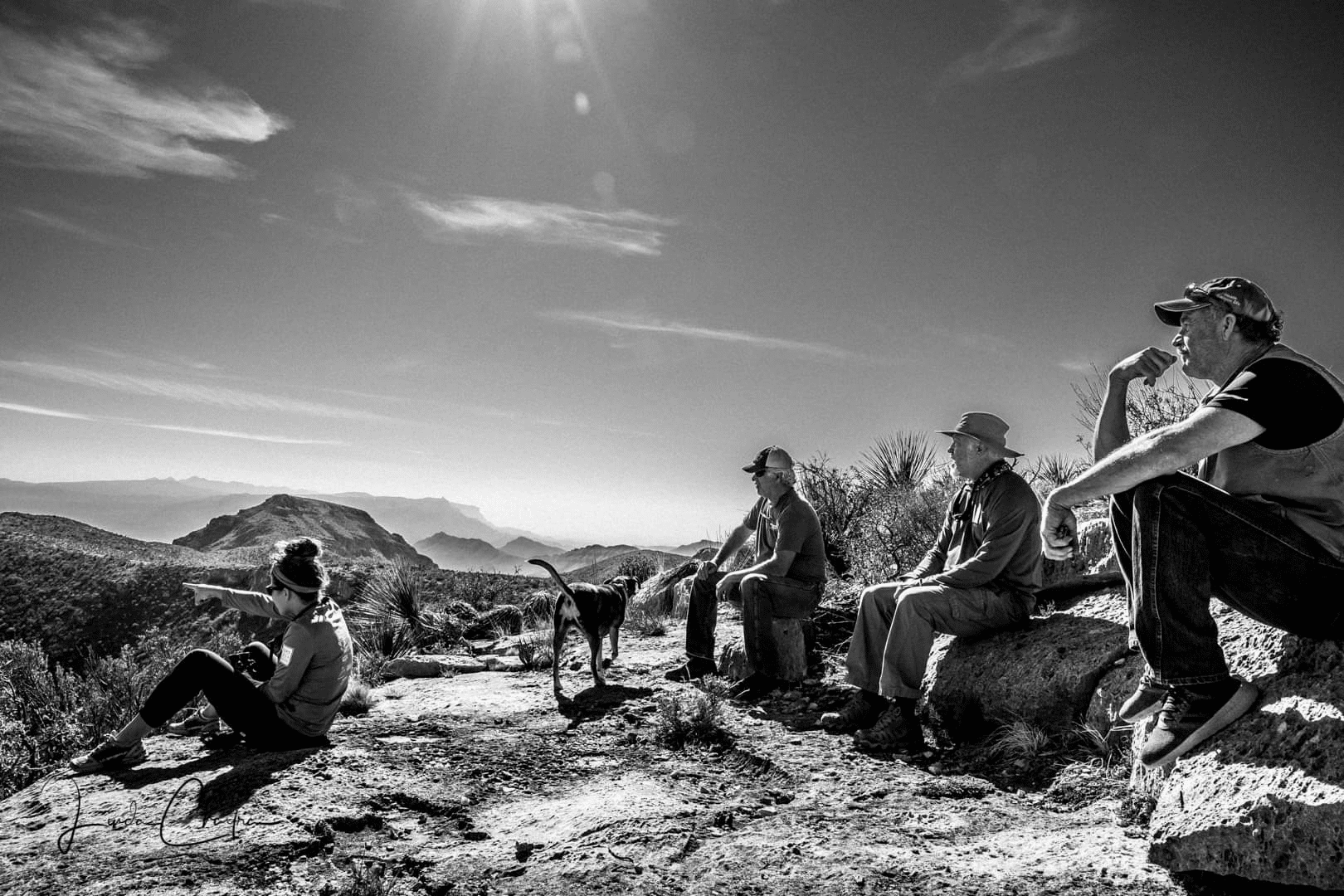
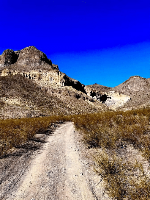
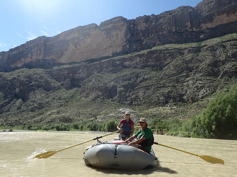
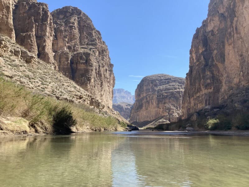
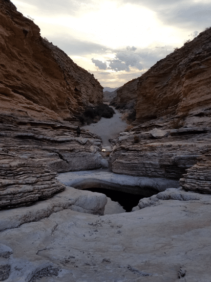
Ernst Tinaja Trail in Big Bend National Park is one of the easier rated hikes in the park. It offers spectacular changes in geology during the short 1.0-mile roundtrip distance it takes to walk to the tinaja and back, and there are no major elevation changes. That said, it is sometimes overlooked by visitors, because getting to the trailhead requires a 5.0-mile drive down Old Ore Road.
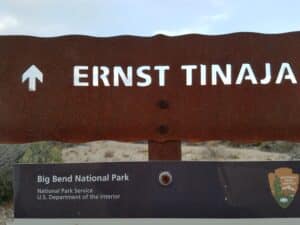 The sign at the trailhead.
The drive to this backcountry destination absolutely requires a high clearance 4 wheel-drive vehicle. Old Ore Road, located on the eastern side of the park, is primitive and unpaved. It was used in the 1900s to transport lead, zinc and silver ore from Mexican mines to the railroad station in Marathon, and it remains much as it was then – narrow, rocky and gutted.
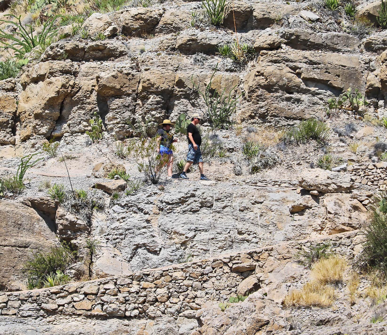
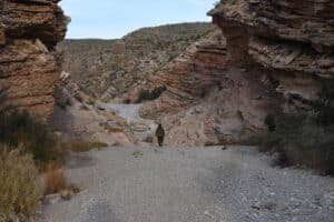 On the trail to Ernst Tinaja.
For visitors who come equipped for such a challenge, the trek to Ernst Tinaja is probably already on the list. For those who come to the park in low clearance 2 wheel-drive vehicles, this hike is not out of reach – off-road tour packages are available out of Terlingua (see our listings for more) – and so many more places in the park become accessible with 4 wheel-drive.
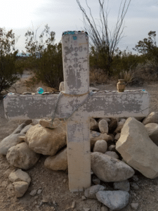 The gravesite of Juan de Leon.
Take Old Ore Road from its southern entrance, close to Rio Grande Village. The first turn from the park’s nice, easy paved highway is eye-opening! This dirt road requires patience and alertness, but with careful maneuvering, the few miles to Ernst Tinaja are over before you know it. Don't miss the mysterious gravesite of Juan de Leon, located just off the road. Visitors leave tokens of respect before traveling on. (More on this mystery, here.)
Switching on the mileage meter at the start of Old Ore Road is not a bad idea! There is a stone marker that says “Ernst Tinaja” at about 4.5 to 5.0 miles. It marks the junction for the trailhead, but other than that, there aren’t any signs. The marker looks the same as other markers for designated backcountry campsites, so don't mistake it as just a campsite, because this is where you turn to get to the trailhead. If you don't turn, you might be in for more off-roading than you bargained for – Old Ore Road continues for a total of 26 miles and eventually connects to Dagger Flat Auto Trail on the northeast side of the park – the whole drive takes extra preparation and that’s a story for another blog entry!
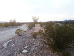 Make a right turn onto the side road just before this "Ernst Tinaja" stone marker.
So, you’ve driven the approximately 5 miles, you’ve made the right turn at “Ernst Tinaja” – now things open up! There is a well-marked parking area for the trailhead, but it can be a little difficult to find the actual trail – be sure to look for the stone cairn along the embankment for easier walking.
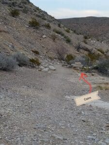 Pay careful attention for the rock cairn marking the trail or you may end up having to follow the creek. The official (and recommended) trail is adjacent to the embankment by the parking lot.
The official trail hugs the high bank by the parking lot alongside the creek (a tributary of Tornillo Creek). As the tinaja nears, the trail melds into the sandy creek bed and it’s a free-for-all until suddenly the bedrock drastically changes indicating you’ve made it.
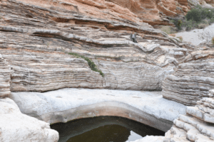
Ernst Tinaja is a breathtaking feature. It’s the largest of three waterholes that formed in the massive limestone floor. It is said that geologic faulting formed a spring that keeps the tinajas filled. There are certainly signs of faulting all around – the jagged and changing geology testifies to this!
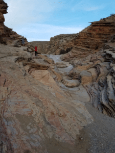
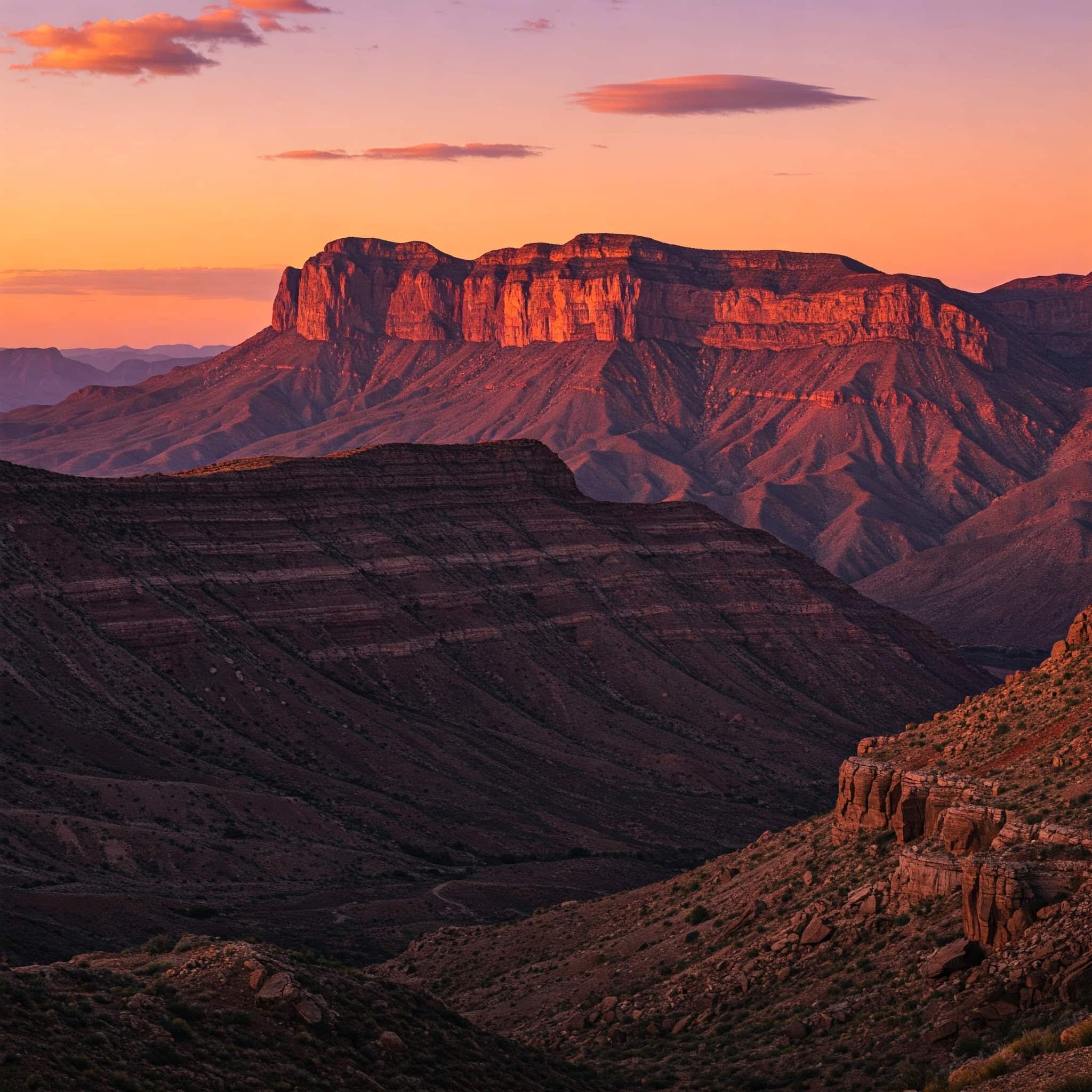
The tinajas are surrounded by rosy toned layers of limestone that are best viewed during the colorful morning or late day hours. Be careful picking your way around the rocks, as thousands of years of creek flows have smoothed all rough surfaces, and it can be slippery.
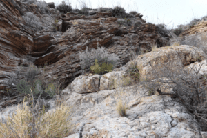 Two strikingly different kinds of rock are stacked on top of each other. This is an example of a geologic contact!
For brave and curious adventurers, going beyond the tinaja can prove just as interesting. Rock aficionados will love seeing the geologic contact just beyond the tinaja.
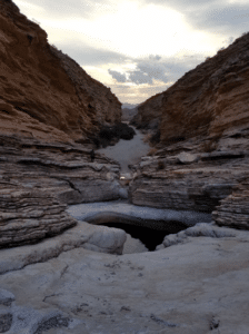 The tinaja is a sight to behold!
Be sure to explore all your National Park has to offer! Put Ernst Tinaja Trail on the list of must-see hikes!