Drive to Big Bend

Routes, Drive Times & Road Tips to Big BendBig Bend sits deep in far West Texas. Whether you’re coming from El Paso, Midland/Odessa, San Antonio, Austin, Houston, or Dallas/Fort Worth, choose the route that matches your arrival town and the part of the park you want...
Drive from Houston

Houston to Big Bend: Best Routes, Drive Times & Road TipsThe trip from Houston to Big Bend is a true cross-Texas adventure—piney woods to Hill Country to wide-open desert. Expect roughly 8–9 hours of drive time and about 540–600 miles, depending on your route and...

Fly to Big Bend

Commercial & Private Air Travel Options for Big BendPicture yourself sweeping over endless West Texas plains, the sun glinting off distant mesas as you descend into the rugged embrace of Big Bend’s wild frontier. By flying into El Paso, Midland, or even chartering...

Travel to Big Bend by Train

Experience the Historic Sunset Limited Rail RouteBoard Amtrak’s Sunset Limited—the oldest continuously operating named train in the U.S.—for a scenic journey between New Orleans and Los Angeles. This route stops in Alpine, TX three times weekly, offering a relaxed way...

Vehicle Rentals to Big Bend

Convenient Vehicle Rental Options to Big Bend from El Paso, Midland, Alpine & MoreFlying in? Renting a vehicle at a major airport is the fastest, most reliable way to reach Big Bend National Park—and gives you the freedom to explore every scenic mile on your own...

Drive from San Antonio

San Antonio to Big Bend: Scenic Road Trip Highlights & Hidden Stops Along the WayAt roughly 430 miles, the journey from San Antonio to Big Bend National Park takes you from the Hill Country’s rolling hills into West Texas’s rugged desert. Plan for about 7–8 hours of...

Alpine

Hub of the Big Bend Region Alpine Welcome to Alpine, the heart of the Big Bend region and the area’s primary hub for travel, services, and everyday convenience. With more lodging, dining, shopping, and infrastructure than any surrounding community, Alpine serves as a...

Big Bend National Park

Iconic Landscape in Far West Texas Big Bend National Park Welcome to Big Bend National Park, one of the most extraordinary and remote landscapes in the United States. Located in far West Texas along a sweeping curve of the Rio Grande, the park is known for its desert...
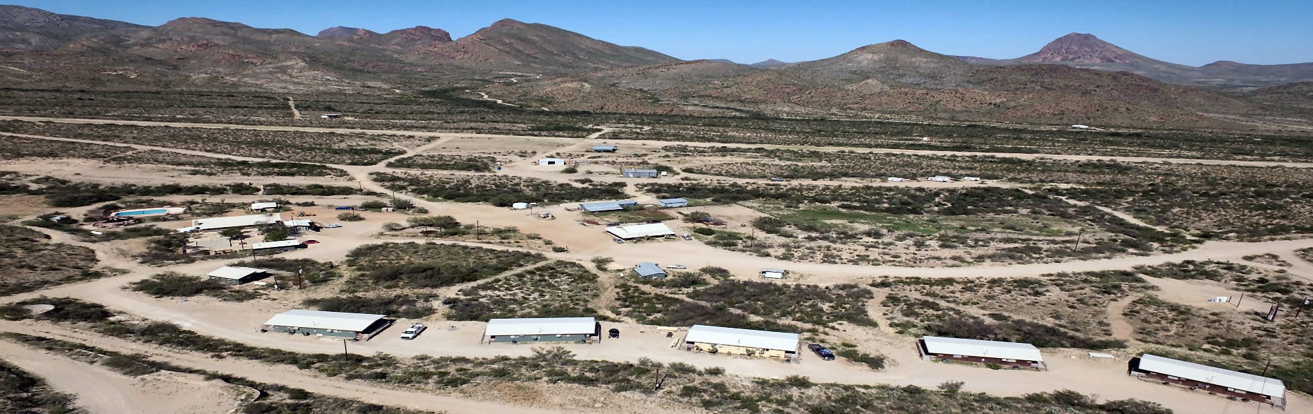
Lajitas

Resort Community in Big Bend Lajitas Welcome to Lajitas, one of the most unique destinations in the Big Bend region. Set along the Rio Grande and surrounded by rugged desert landscapes, Lajitas offers a rare combination of natural beauty and resort-style comfort in...
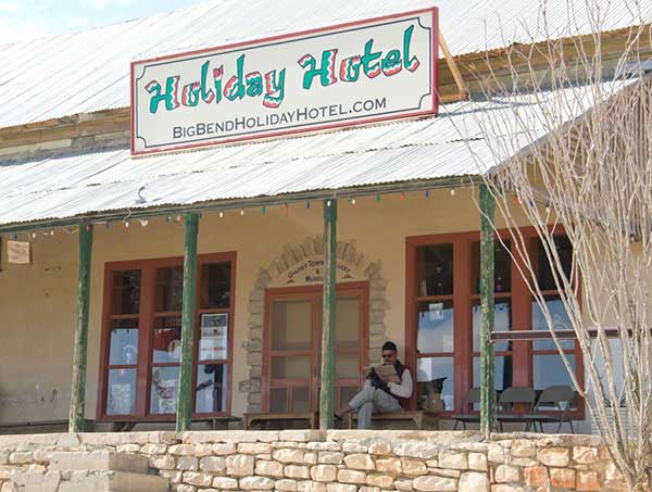
Terlingua

Historic Big Bend Community Terlingua Welcome to Terlingua, one of the most iconic communities in the Big Bend region. Known for its ghost town history, dramatic desert setting, and unmistakable personality, Terlingua offers visitors far more than a place to stay. It...
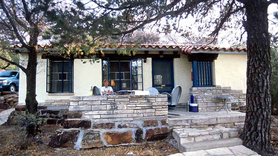
Study Butte

Big Bend Gateway Community Study Butte Welcome to Study Butte, the practical basecamp for exploring the Big Bend region. Located at the junction of TX 118 and FM 170, just outside the western entrance area of Big Bend National Park, Study Butte gives travelers the...
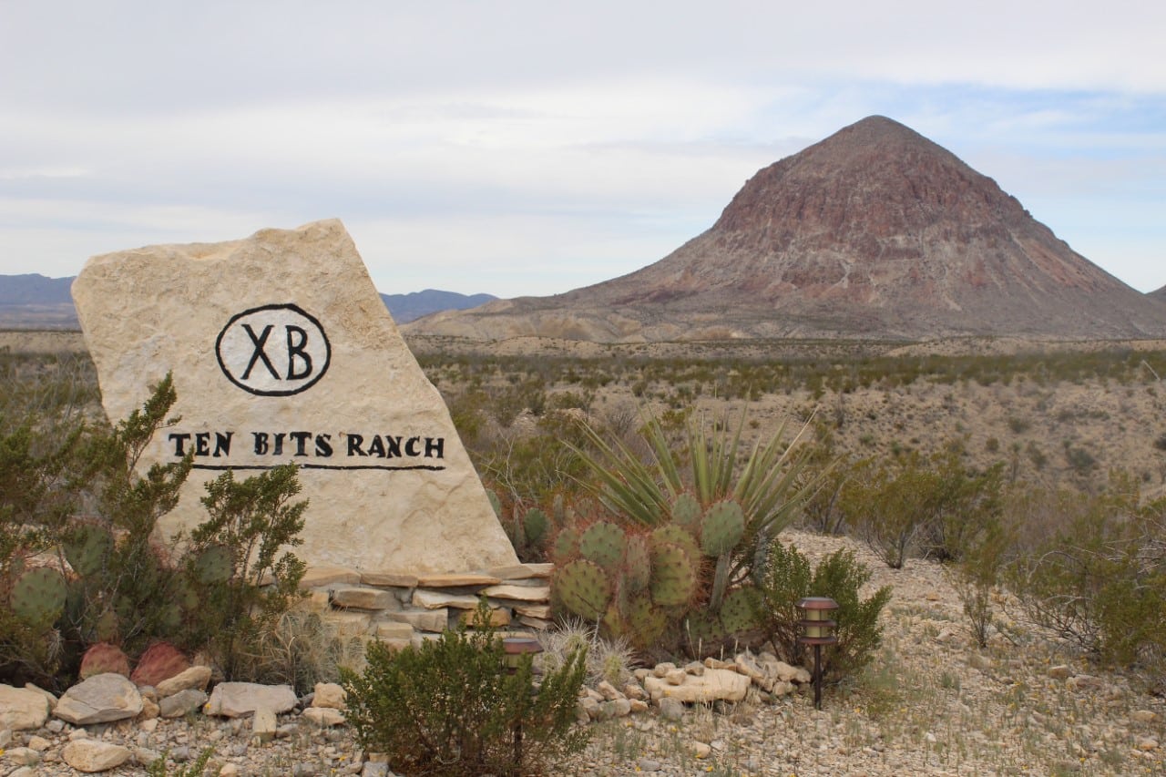
Marathon

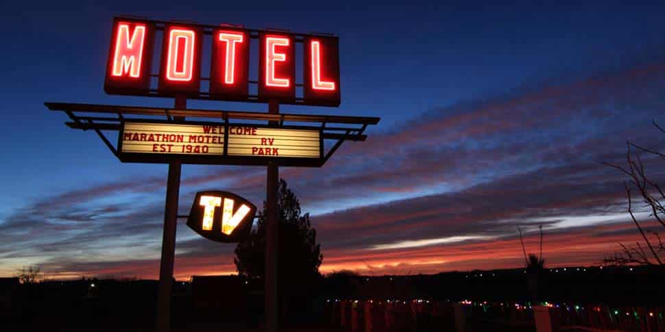
Historic Big Bend Gateway Town Marathon Welcome to Marathon, a quiet and distinctive West Texas town that offers a very different kind of Big Bend experience. Known for its historic charm, wide-open scenery, and slower pace, Marathon is a place where visitors come to...

BIG BEND NATIONAL PARK WEATHER

Big Bend

LAJITAS HISTORY
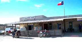
Lajitas is on the western edge of Big Bend National Park in southwestern Brewster County. It is at an altitude of 2,200 feet on a bluff overlooking the Rio Grande at the San Carlos ford of the old Comanche Trail, in the northern part of the Chihuahuan Desert and at the southern extreme of the Rocky Mountains. The name Lajitas is Spanish for “little flat rocks” and refers to the Boquillas limestone of the area
alt

The region was sparsely inhabited for thousands of years by semi nomadic peoples related to the Patarabueyes and Jumanos tribes before the Spanish arrived. It is speculated that Cabeza de Vaca crossed the Rio Grande at Lajitas around 1530, and it is almost certain that Antonio de Espejo’s party did in 1588. Later, after as the horse became integrated into the Apache and Comanche culture, these nomadic tribes frequented the area, causing the Spanich to set up a series of Presidios and military colonies, one of which, San Carlos, lies 18 miles south of Lajitas. Anglo-Americans first arrived around the time of the Mexican war. In 1852 Lt. William H. Emory visited the site as part of the first official US survey party.

In the late 1890s quicksilver was discovered near Terlingua, eleven miles from Lajitas, and a rapid influx of people followed. At the same time a number of cattle ranches and mining enterprises appeared in northern Chihuahua and Coahuila. These activities increased commerce across the Rio Grande into Texas; consequently, by 1900 Lajitas was designated a substation port of entry. Farming along the narrow floodplain of the river served to bring in more families, and by 1912 the town had a store, a saloon, a school with fifty pupils, and a customhouse. The crossing, a smooth rock bottom all the way across the river, was the best between Del Rio and El Paso.

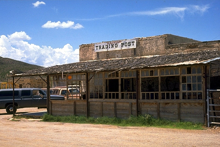
H. W. McGuirk, the leading citizen of Lajitas from 1902 to 1917, operated the Lajitas Trading Post, farmed, and helped manage the Terlingua Mining Company. He also funded the construction of a church and a school. Lajitas officially had a post office as early as 1901, but it did not become operational until McGuirk petitioned for its reestablishment in 1904. It was closed temporarily in 1910, reopened in 1916, and closed permanently in 1939. McGuirk sold his landholdings around Lajitas to Thomas V. Skaggs, who continued farming. Skaggs also became successful in a candelilla wax business, the Lajitas Wax Company. In 1916 the interruption of commerce by civil unrest in Mexico, and isolated bandit raids into the US brought Gen. John J. Pershing’s troops to Lajitas, where they established a small cavalry post to monitor this critical river crossing.

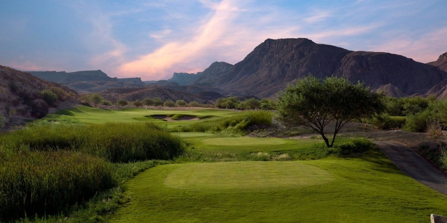
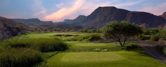
The Lajitas property continued to change hands and in 1949 was bought by Rex Ivey, Jr., who hand-dug a well and installed a generator for the area’s first electric lights. Due to the closing of the Terlingua quicksilver mines, the number of residents in Lajitas had dwindled to four. In 1977 Ivey sold part of the Lajitas area to Houston entrepreneur Walter M. Mischer, of Mischer Corporation; Mischer had begun development and restoration of the community in 1977, under the name of the corporation’s subsidiary, Arrow Development Company. By the early 80’s, Lajitas on the Rio Grande had a 9 hole golf course, two lodging units, several condos, and was a local center of economic activity in Brewster County.

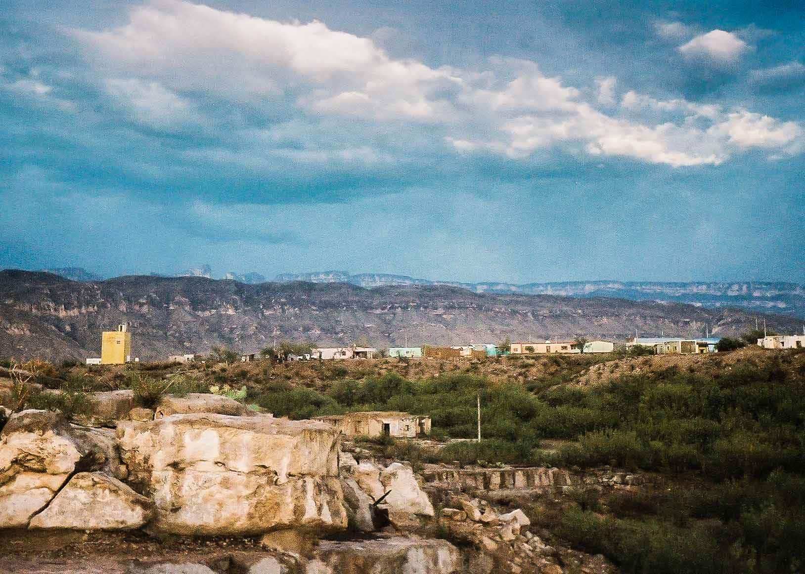
By the late 90’s, Lajitas and its sister town, Paso Lajitas, Chihuahua, Mexico had over 200 inhabitants. In 2000, the town and surrounding 25,000 acres was sold at auction to Austin entrepreneur/developer Steve Smith, who completely remodeled the town, attempting to establish an exclusive high end resort for the jet set. That effort ran out of steam and money in 2007, and a group of investors bought the property, cut the prices in half, and have created a luxurious and affordable environment for visitors to Texas Big Bend.
visitbigbend

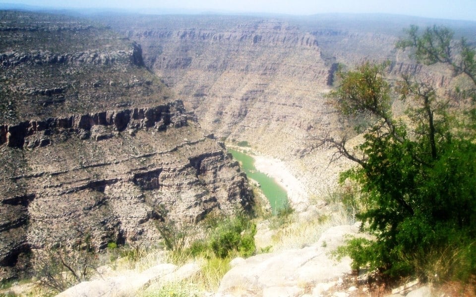
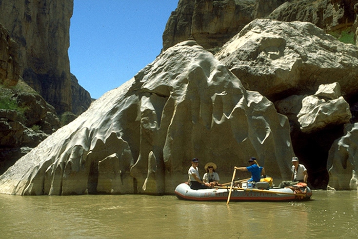
Thanks to Adrien Torres for sharing this rare sighting of waterfalls flowing (thanks to recent rains) in Cañón de Santa Elena, Parque Nacional, just across the river from Big Bend National Park. 🙌#BigBendNationalPark #WestTexas #CanonDeSantaElena #ParqueNacional
Amazing Big Bend sunrise captured by @marcusc_photo ☀️🙌#bigbend #nationalpark #westtexas #traveltexas #bigbendnationalpark #nps
"Deep inside a remote cave in Big Bend, archeologists have uncovered a pristine hunting kit — potentially the oldest intact weapon system in North America. This discovery offers a rare glimpse into the lives of ancient hunters, revealing tools, weapons, and even a folded pronghorn hide left untouched for thousands of years. Each artifact tells a story of survival, craftsmanship, and the deep connect between humans and the land." - @TexasParksWildlifeRead the full story in the March TPW Magazine linked in bio.#texasparks #nationalparks #visitbigbend #bigbendnps #bigbend #nps
Spring in West Texas means bluebonnets are back, covering the fields in a blue spectacle.It's a great time to see these iconic Texas flowers up close.Beautiful photo by @gooolsby#BluebonnetBloom #texasbluebonnets #bluebonnet #westtexas #traveltexas
Recent Posts
HISTORICAL OVERVIEW

HISTORICAL OVERVIEW

A brief overview of Big Bend History Big Bend History Tracks across the centuries trail back thousands of years when the first Native Americans arrived in the Big Bend. Many different groups ebbed and flowed across the area, taking their living from native plants and...

MARATHON HISTORY

MARATHON HISTORY

Brief History of Marathon Texas Marathon  is located in a broad basin between the Glass Mountains to the north and the Del Norte-Santiago range to the south. This area is a transition zone between the higher mountain grasslands and the thorny chaparral of the...

MEXICO

MEXICO

Important information about travelling to Mexico As one old timer told a dewy-eyed tourist upon his first glimpse of the Rio Grande, "Boy, when you cross that river, you're in another country". Until recently, one of the great experiences to be enjoyed in Big Bend was...

6 IMPORTANT TIPS FOR VISITING THE BIG BEND

6 IMPORTANT TIPS FOR VISITING THE BIG BEND

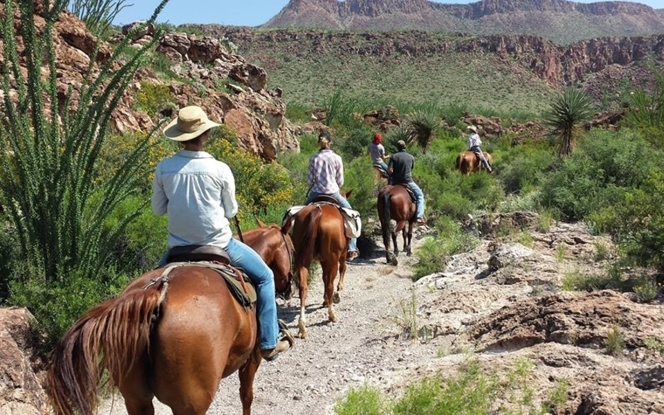
The Big Bend is a remote region of West Texas that includes over one million acres of public land, Big Bend National Park, Big Bend Ranch State Park, and offers many activities, from camping and river rafting to horseback riding and off-road vehicle tours. But because...