Routes, Drive Times & Road Tips to Big BendBig Bend sits deep in far West Texas. Whether you’re coming from El Paso, Midland/Odessa, San Antonio, Austin, Houston, or Dallas/Fort Worth, choose the route that matches your arrival town and the part of the park you want...
Marathon is located in a broad basin between the Glass Mountains to the north and the Del Norte-Santiago range to the south. This area is a transition zone between the higher mountain grasslands and the thorny chaparral of the Chihuahuan Desert, as well as a remarkable fusion of “old” and “new” mountains. The Ouachita fold – whitish rock bands to the south and east of Marathon – were formed 250 to 290 million years ago, about the same time as the Appalachian Mountains in the eastern United States. The “young” Del Norte-Santiago Mountains – formed from 40 to 60 million years ago – are part of the southern Rocky Mountains that continue into Mexico as the Sierra Del Carmen.
Blessed with a prolific water source now called Pena Colorado (Rainbow Cliffs) Spring, has supported human activity for several thousand years. In historic times, Comanche Indians traveled through on annual fall raiding parties into Mexico. Their sworn enemies, the Apache, also relied on this important water source in their wide-ranging migrations.
In 1879, around the time that Apache leader Victorio led his band in an escape from the San Carlos, Arizona reservation and a military outpost called Cantonment Pena Colorado was established at the spring, 5 miles south of present-day Marathon. This not only eliminated access to an important water hole for rebellious Apaches, it also protected the road from Ft. Clark to Ft. Davis, and was easy to support from Fort Stockton, 50 miles to the north. Of even more importance, it lay near the projected route of the Southern Pacific railroad.
In 1881, Captain Albion Shepard came to the area as a surveyor for the railroad. When he was assigned to name the water stops between Del Rio and El Paso in 1882, he named the burgeoning settlement Marathon since the high semi-arid grassland and rocky mountains reminded him of the landscape he had seen on a visit to the famous Marathon in Greece. With Victorio defeated and with him the threat of Indian attack in the Big Bend squelched, Marathon became a ranching center for sheep and cattle. Shepard acquired large holdings and ran as many as 25,000 head in the open range around Marathon. Ft. Pena Colorado was abandoned in 1893 after 15 years, and the military presence in the area transferred south toward the Mexican border.
Around the time of World War I, a processing plant for guayule, a native Chihuahuan desert shrub from which rubber can be extracted, was established in Marathon. After the guayule plant shut down, Marathon’s fortunes rose and fell with the price of cattle, and whether the train stopped to pick up silver, zinc and quicksilver from border area mines. A small year-round trade developed in satisfying the needs of travelers along US 90 between Del Rio and El Paso. In the 30s and 40s Marathon became a major jumping-off point for the newly dedicated Big Bend National Park and many townspeople got jobs with the National Park Service and the Civilian
Conservation Corps.
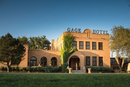
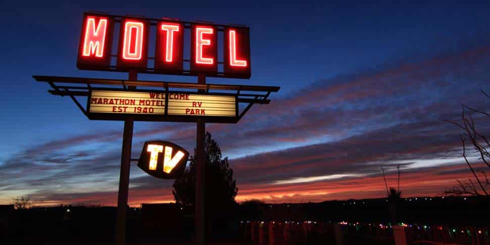
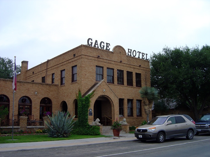
In 1980, the historic Gage Hotel was restored and reopened for business. This marked the beginning of a new phase for Marathon as a gateway to Big Bend National Park. Since then the town has enjoyed modest growth, with additions to the Gage and other attractive visitor accommodations. Long-time residents and newcomers alike have refurbished older buildings and generally beautified the small main street of Marathon. A growing artists’ community has established a variety of studios and galleries. Local restaurateurs provide good food with West Texas, Mexican and other specialties. The shops along Highway 90, spruced up with sand-colored sidewalks and limestone flower planters, offer regional gifts, books, arts and crafts from all over the Southwest and Mexico, ranching memorabilia, clothing and souvenirs.
visitbigbend
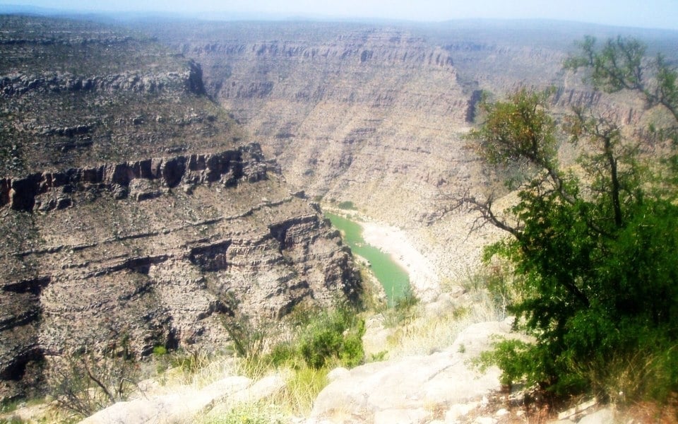
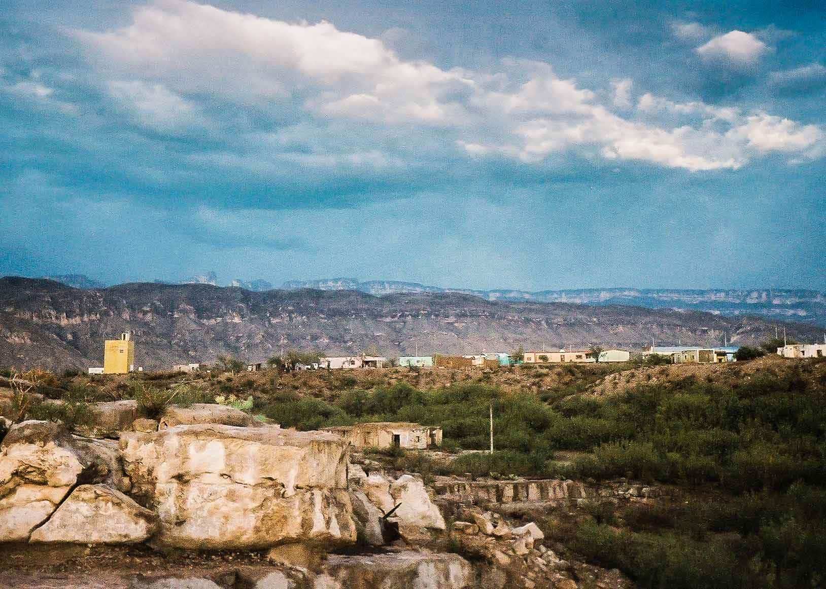
Thanks to Adrien Torres for sharing this rare sighting of waterfalls flowing (thanks to recent rains) in Cañón de Santa Elena, Parque Nacional, just across the river from Big Bend National Park. 🙌
#BigBendNationalPark #WestTexas #CanonDeSantaElena #ParqueNacional
Amazing Big Bend sunrise captured by @marcusc_photo ☀️🙌
#bigbend #nationalpark #westtexas #traveltexas #bigbendnationalpark #nps
Chisos Basin to remain open in Big Bend National Park. 🙌
With construction plans on hold, the previously anticipated closures will no longer take place, which means that winding road into the mountains will stay open and ready to welcome visitors.
Those who know, know: when summer heat settles over the desert, the Chisos Basin answers with fresh breezes, cooler temps and shaded trails.
Visit nps.gov for more information.
Good news for winter travelers! Chisos Basin will remain OPEN through the 2025 winter season, including lodging, trails, the visitor center, and food services.
Next summer, thanks to funding from the Great American Outdoors Act (GAOA) Legacy Restoration Fund, construction work on significant improvements to the Chisos Basin area of the park is expected to begin on May 1, 2026, and continue for approximately two years.
Until then, enjoy the beauty of the basin!
#visitbigbend #vbb #chisosbasin #westtexas #bigbend #bigbendnps
✨ Your Big Bend stargazing calendar: July 14 – August 15 ✨
Home to some of the darkest night skies in the lower 48, Big Bend was made for looking up. Here`s what`s lighting up (and darkening) our skies over the next month (Photo by @tonymaples):
🌑 July 14 — New Moon. Tonight! The darkest skies of the month mean the Milky Way core glows overhead all evening. No telescope required. 📸 by @marcusc_photo
🌒 July 15–17 — Earthshine moon meets Venus. Look west at dusk for a razor-thin crescent glowing with "earthshine" — sunlight reflecting off Earth onto the moon`s dark side. On the 16th and 17th, it pairs up with brilliant Venus. 📸 by @visitpresidiotexas
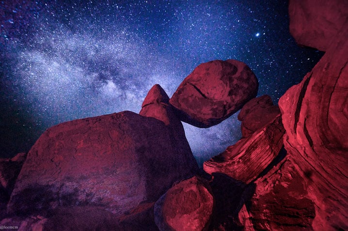
☄️ July 17 — Perseid season begins. The year`s most beloved meteor shower starts flinging its first shooting stars across our skies (and keeps going through Aug 24). 📸 by Lee McMillan
🌕 July 29 — Full Buck Moon. Watch it rise over the Chisos Mountains — bring a camera. 📸 by @timmckennaterlingua
🌠 July 30–31 — Double meteor shower. The Southern Delta Aquariids (up to 25/hour) and Alpha Capricornids peak together. The bright moon will wash some out, so catch them after midnight the week before the peak. 📸 @gregvaughnphotos
💥 August 12–13 — The Perseids PEAK, under a new moon. This is the one. 60–100 meteors per hour with zero moonlight to compete with — expected to be one of the best Perseid displays in years. Best after midnight until dawn. 📷 by NPS/ L. Nowell
💫 August 14–15 — Venus at its brightest. Look west just after sunset for the dazzling "evening star" at its greatest distance from the sun. 📸 by 📷 NPS CA. Hoyt
Terlingua, Lajitas, Marathon, Study Butte. Every corner of Brewster County is a front-row seat. Send to your best stargazing buddies now, because that Perseids weekend won`t wait. 🔭
📸 by @shari_hunt_photography
#VisitBigBend #BigBendNationalPark #DarkSkies #Perseids2026 #MeteorShower #Stargazing #TexasTravel #Terlingua #Marathon #BrewsterCounty
"Big Bend National Park is bigger than Rhode Island and the only national park that contains an entire mountain range, the Chisos Mountains. The skies are dark, the roads to the park are long," notes Carrie Dennis in her recent piece for @travelandleisure. "Majestic Big Bend National Park is fabulous for hiking, scenic car rides, and the Fossil Discovery Exhibit."
Beautifully photographed by Jon Mattrisch @jmke.visuals, the article highlights @bigbendnps`s enormous skies and expansive landscapes and the ‘serene trails leading through the rugged peaks of the Chisos Mountains.’ These moments reflect just why Big Bend is such a treasure. Dive into the full story linked in bio!
#bigbendnps #bigbend #nps #nationalparks #westtexas #visitbigbend #travelleisure
"Deep inside a remote cave in Big Bend, archeologists have uncovered a pristine hunting kit — potentially the oldest intact weapon system in North America. This discovery offers a rare glimpse into the lives of ancient hunters, revealing tools, weapons, and even a folded pronghorn hide left untouched for thousands of years. Each artifact tells a story of survival, craftsmanship, and the deep connect between humans and the land." - @TexasParksWildlife
Read the full story in the March TPW Magazine linked in bio.
#texasparks #nationalparks #visitbigbend #bigbendnps #bigbend #nps
Spring in West Texas means bluebonnets are back, covering the fields in a blue spectacle.
It`s a great time to see these iconic Texas flowers up close.
Beautiful photo by @gooolsby
#BluebonnetBloom #texasbluebonnets #bluebonnet #westtexas #traveltexas

LAJITAS HISTORY
Lajitas is on the western edge of Big Bend National Park in southwestern Brewster County. It is at an altitude of 2,200 feet on a bluff overlooking the Rio Grande at the San Carlos ford of the old Comanche Trail, in the northern part of the Chihuahuan Desert and at...
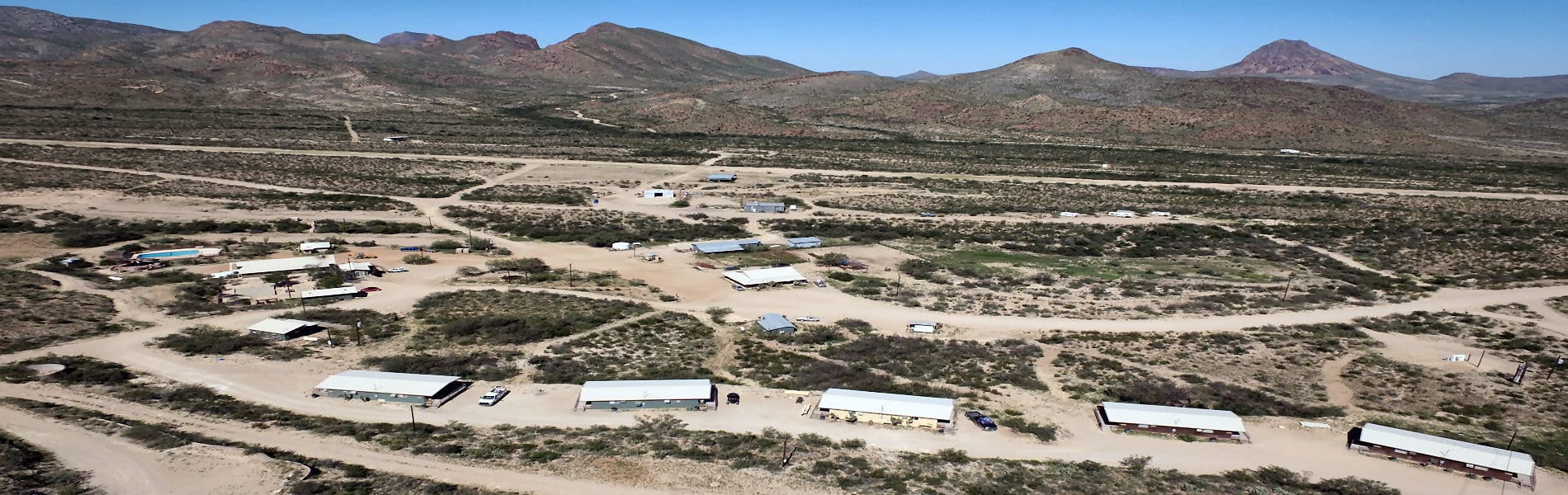
HISTORICAL OVERVIEW
A brief overview of Big Bend History Big Bend History Tracks across the centuries trail back thousands of years when the first Native Americans arrived in the Big Bend. Many different groups ebbed and flowed across the area, taking their living from native plants and...
MEXICO
Important information about travelling to Mexico As one old timer told a dewy-eyed tourist upon his first glimpse of the Rio Grande, "Boy, when you cross that river, you're in another country". Until recently, one of the great experiences to be enjoyed in Big Bend was...
6 IMPORTANT TIPS FOR VISITING THE BIG BEND
The Big Bend is a remote region of West Texas that includes over one million acres of public land, Big Bend National Park, Big Bend Ranch State Park, and offers many activities, from camping and river rafting to horseback riding and off-road vehicle tours. But because...